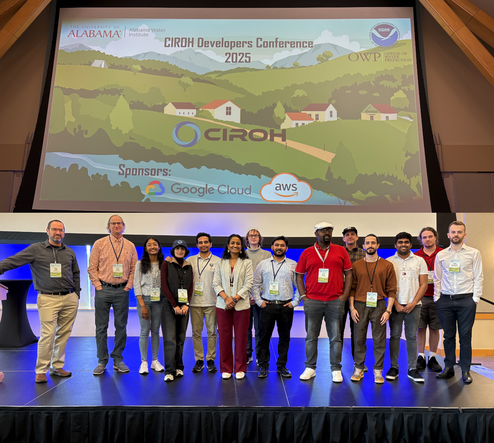
CIROH Cyberinfrastructure and Hydroinformatics Team at AGU25

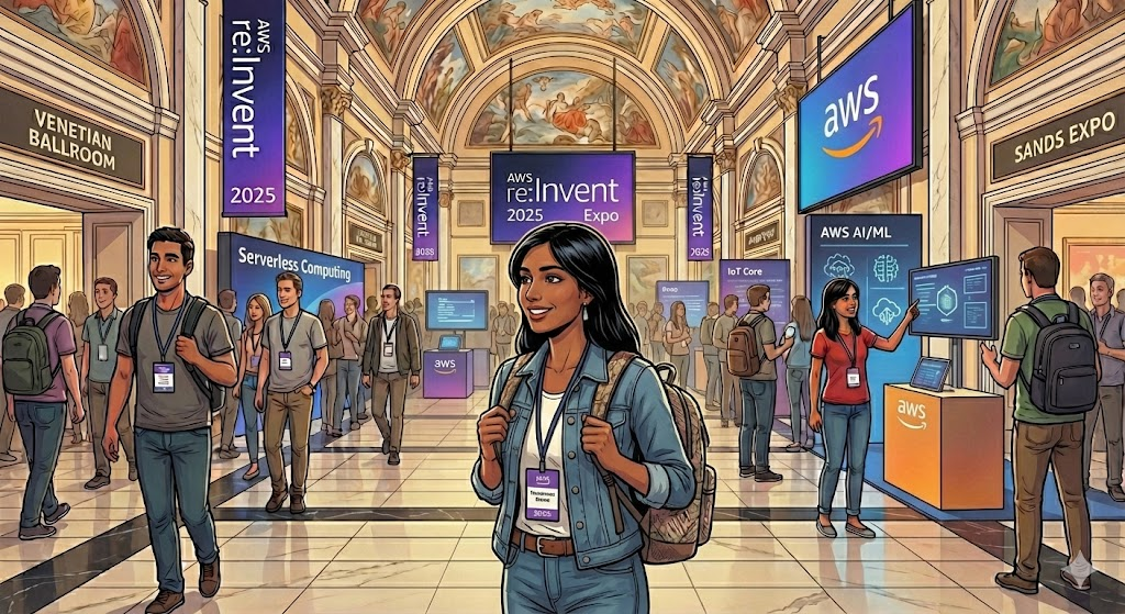
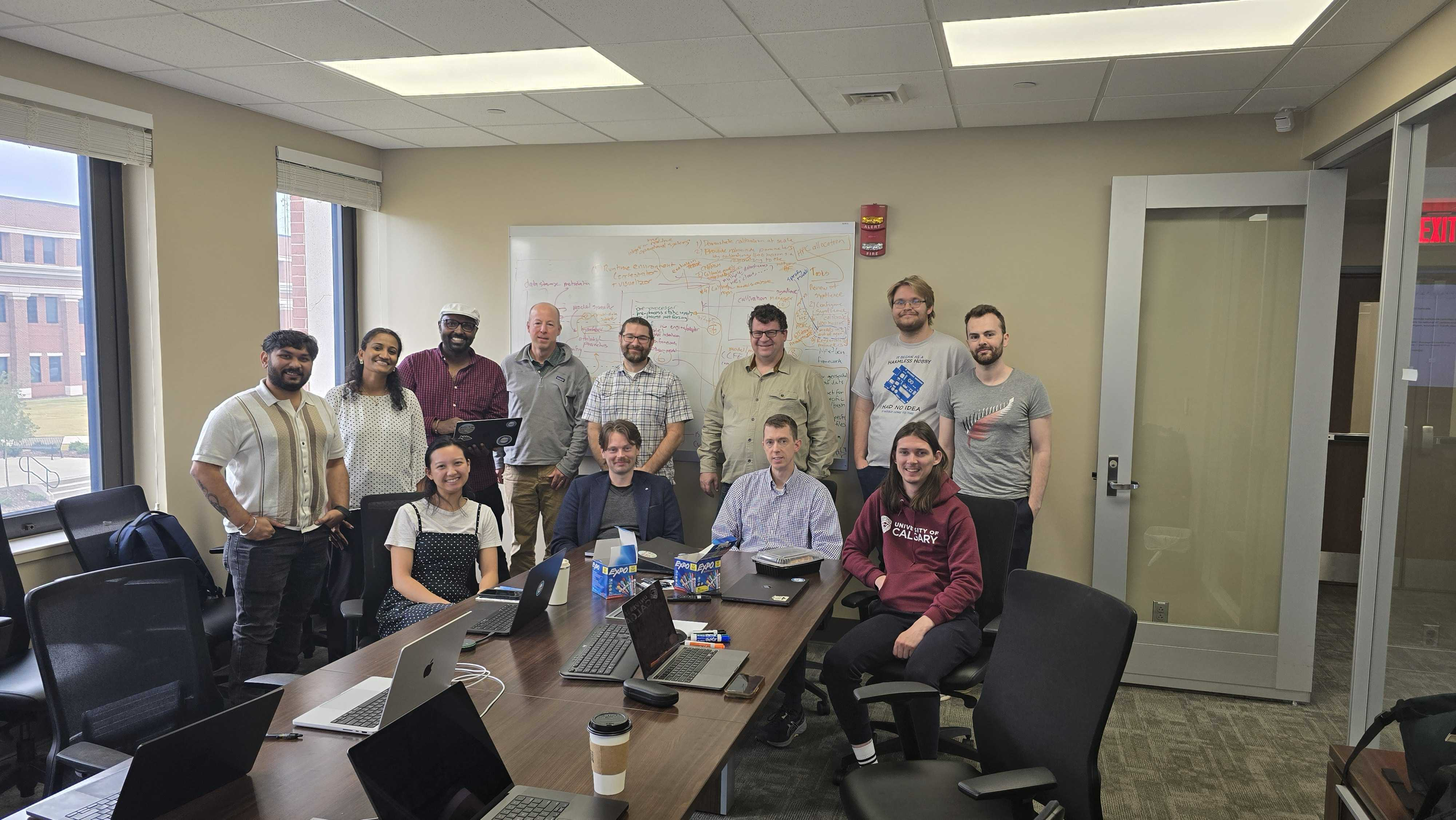
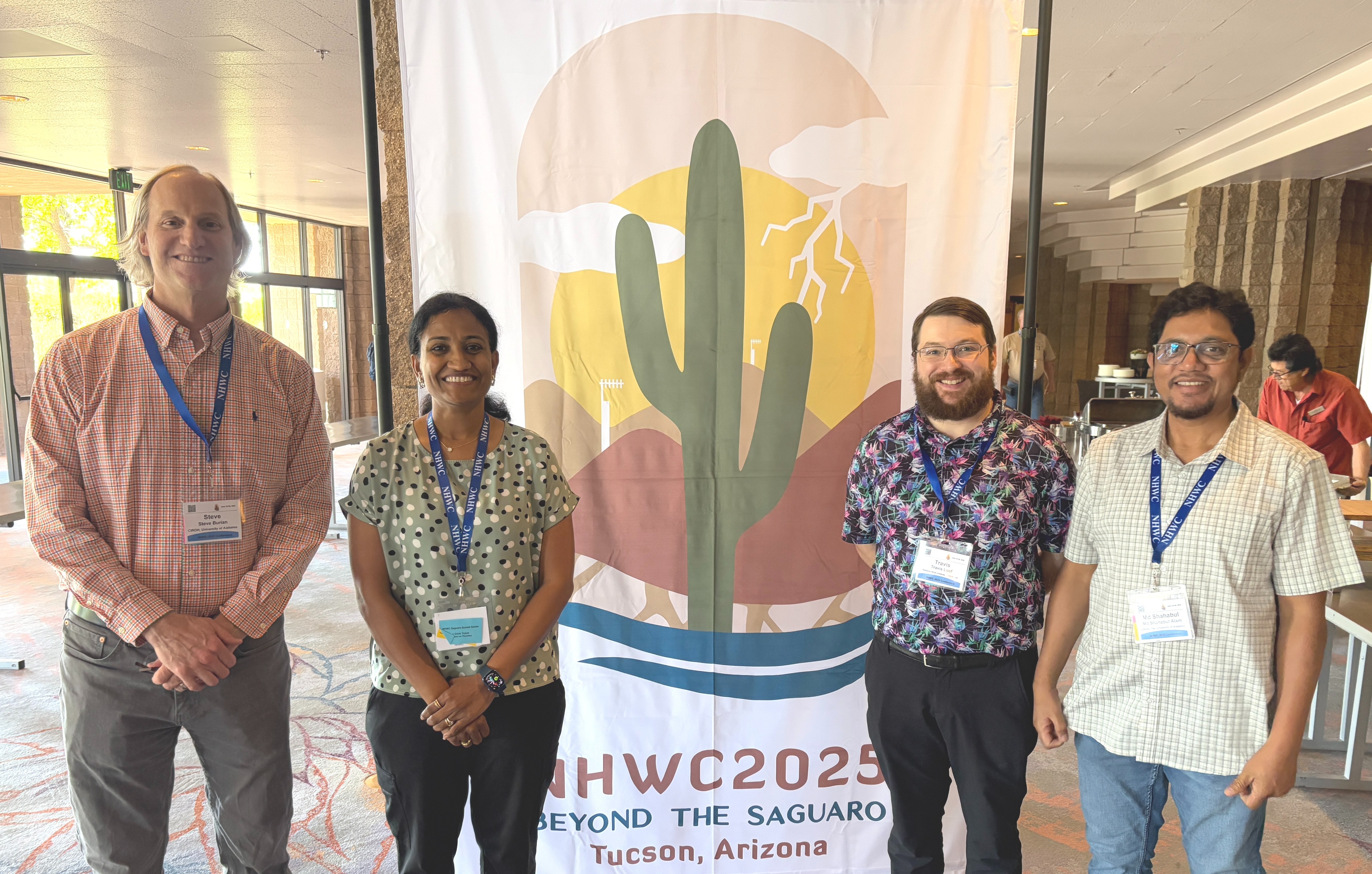
As we do every year, the CIROH team took on the American Geophysical Union (AGU) Annual Meeting 2025 by storm. The Amtrak shuttled us from famously frigid Tuscaloosa to balmy New Orleans, where we laissâmes les bons temps rouler a few months early. From December 15-19, our team shared presentations and posters (and beignets and Cajun food), demonstrating CIROH's commitment to advancing hydrologic science, open collaboration, and sharing technological advancements.
Where Science Connects Us
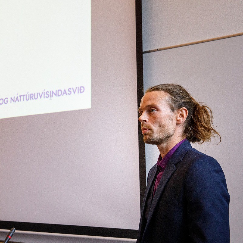
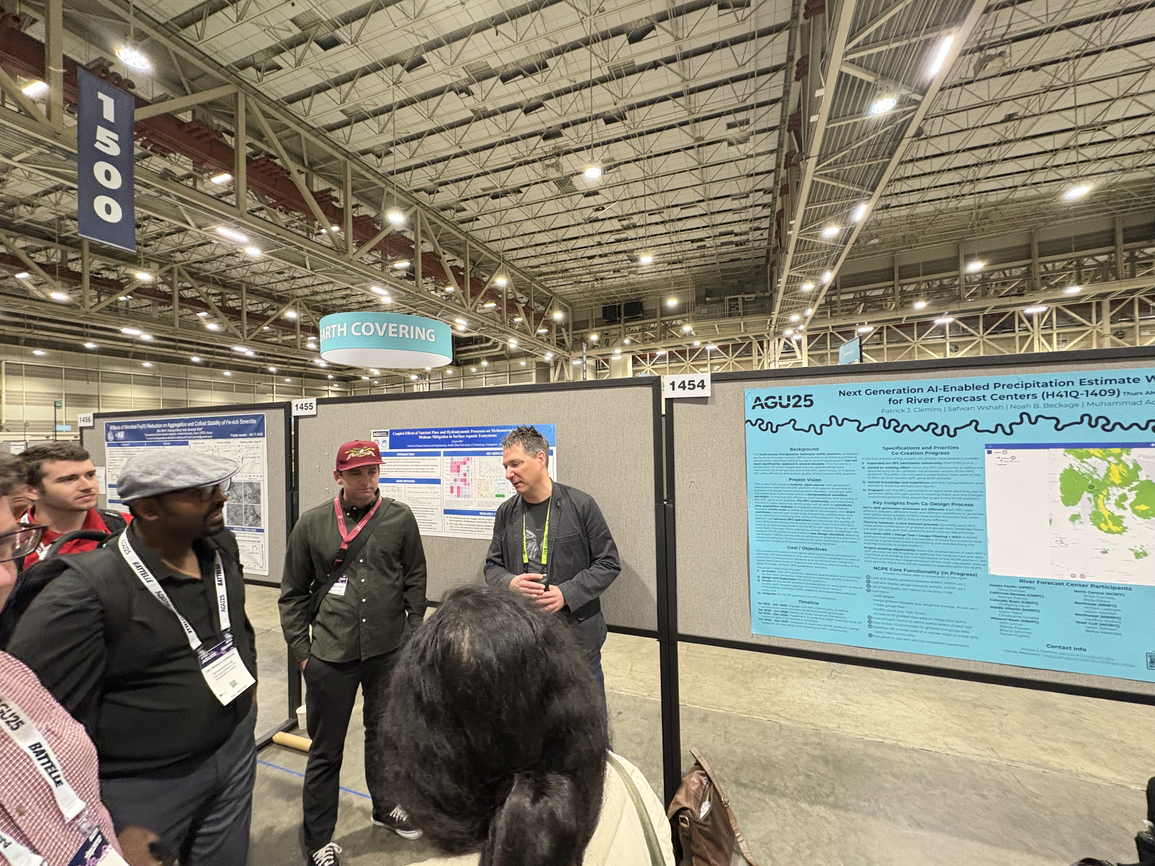
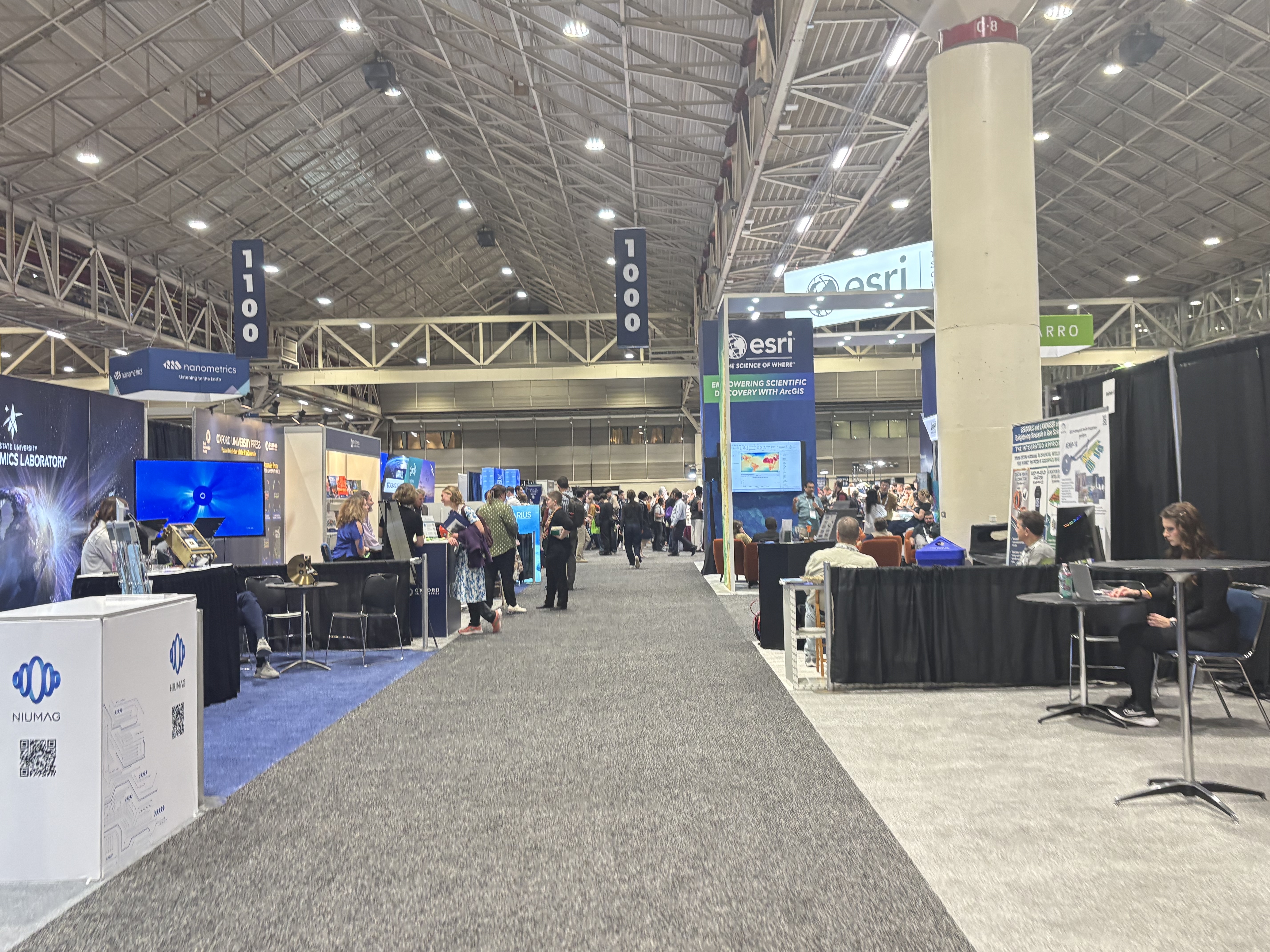
All good event attendees embrace the theme, and we happen to be great event attendees. This year's AGU theme, "Where Science Connects Us," aligned with CIROH's mission to democratize water modeling and foster community engagement in hydrologic research. Our presentations highlighted how we use containerization, cloud infrastructure, and collaborative frameworks in the world of operational and research hydrology. We also loved connecting with the broader CIROH community through the CIROH Research Exchange (lovingly dubbed T-REX by our talented events team), our biggest exhibit hall booth to date, a very packed poster presentation caravan led by our fearless Steve Burian, Martyn Clark, and Katie van Werkhoven, and, in classic AGU fashion, running into colleagues randomly in the extremely long convention center hallways.
Featured Presentations & Posters by CIROH Science Team & Friends
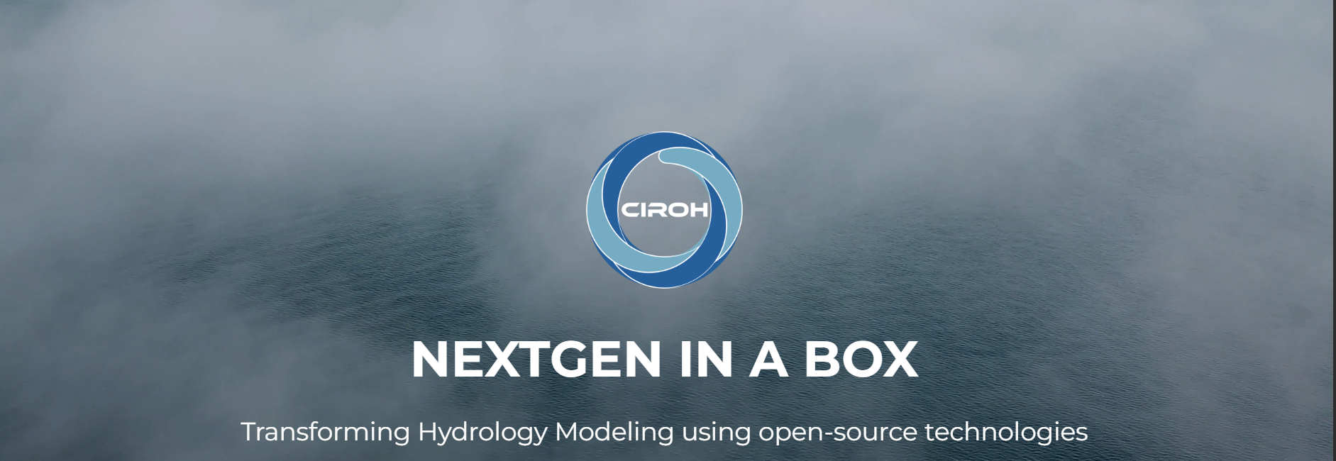
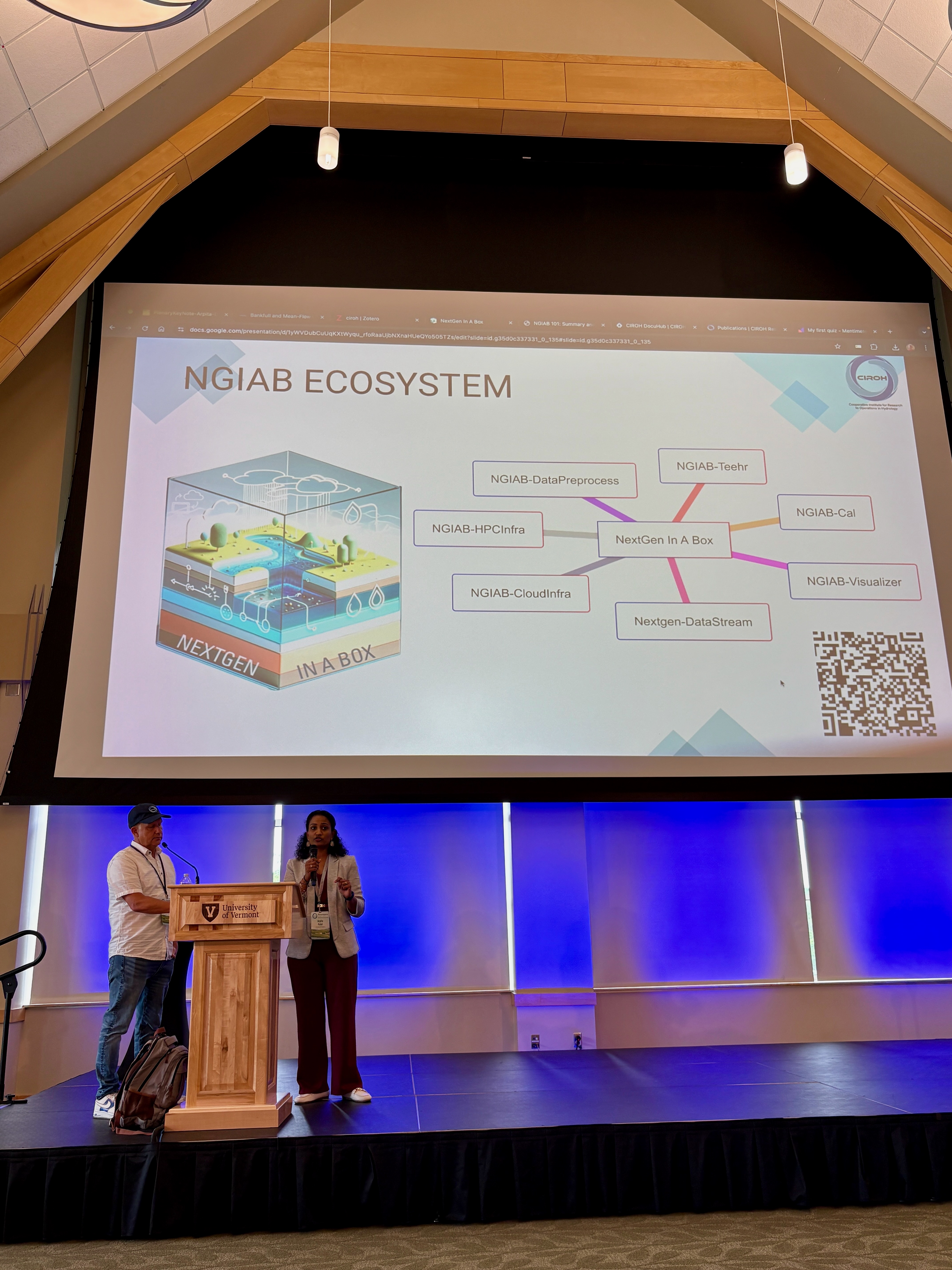
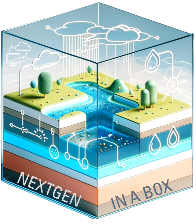
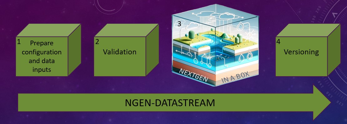
NextGen In A Box (NGIAB) Ecosystem
-
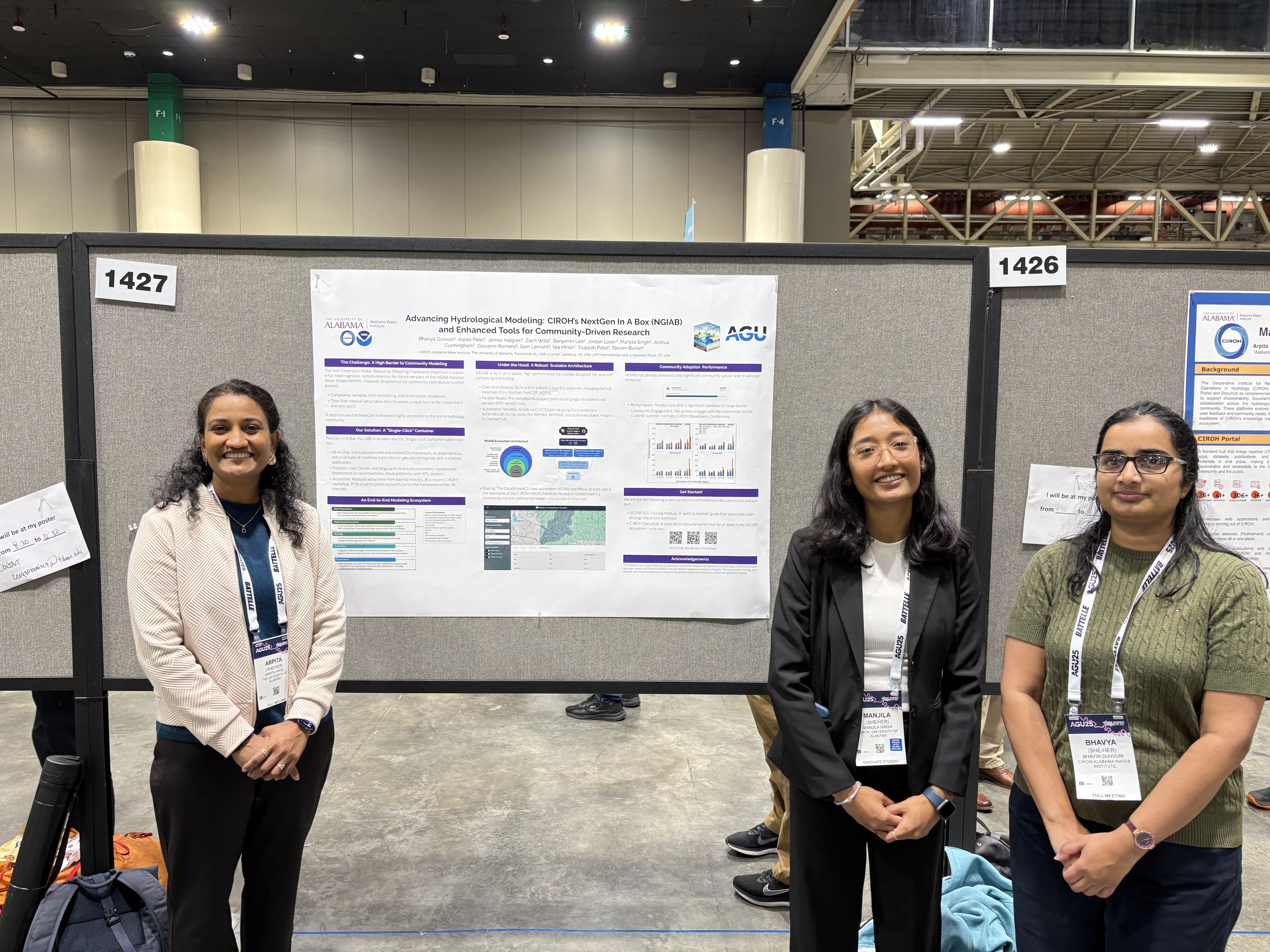
Advancing Hydrological Modeling: CIROH’s NextGen In A Box (NGIAB) and Enhanced Tools for Community-Driven Research
Presenter: Bhavya Duvvuri
Session: Poster Presentation H41Q-1427
-
NextGen Research DataStream: Community Contributions Towards Improved Hydrologic Predictions
Presenter: Zach Wills
Session: Oral Presentation H31G-03
-
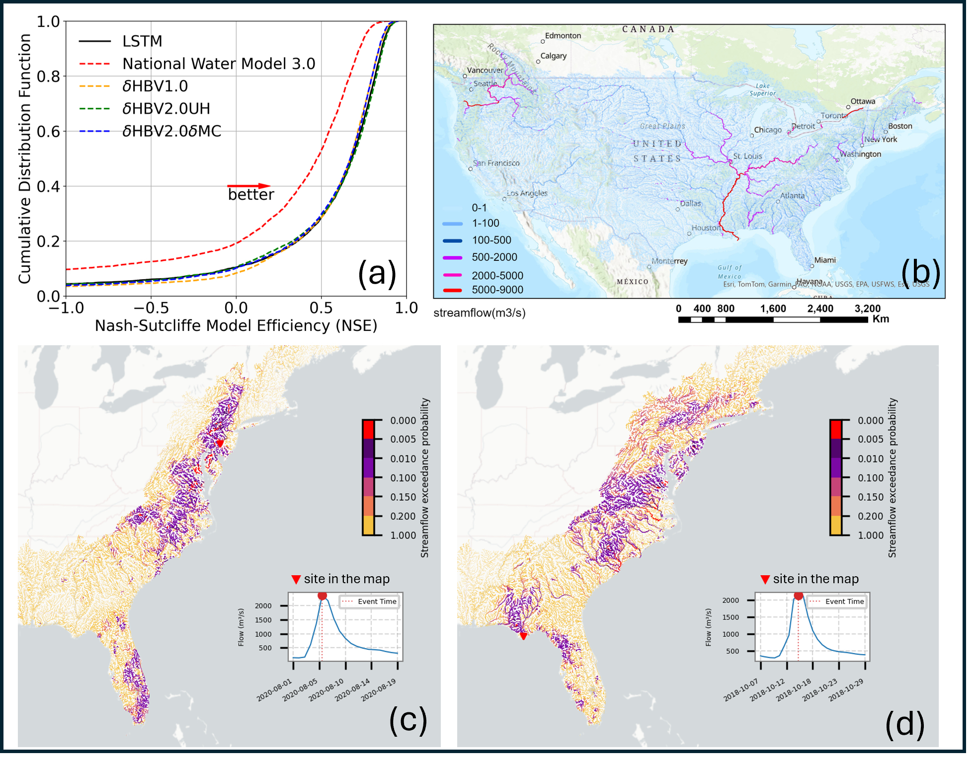
Assessing the use of Physics and AI-Driven Precipitation Forecasts for Streamflow Prediction Using the NextGen In A Box (NGIAB) National Water Model
Presenter: Jorge Bravo
Session: Poster Presentation H41Q-1410
-
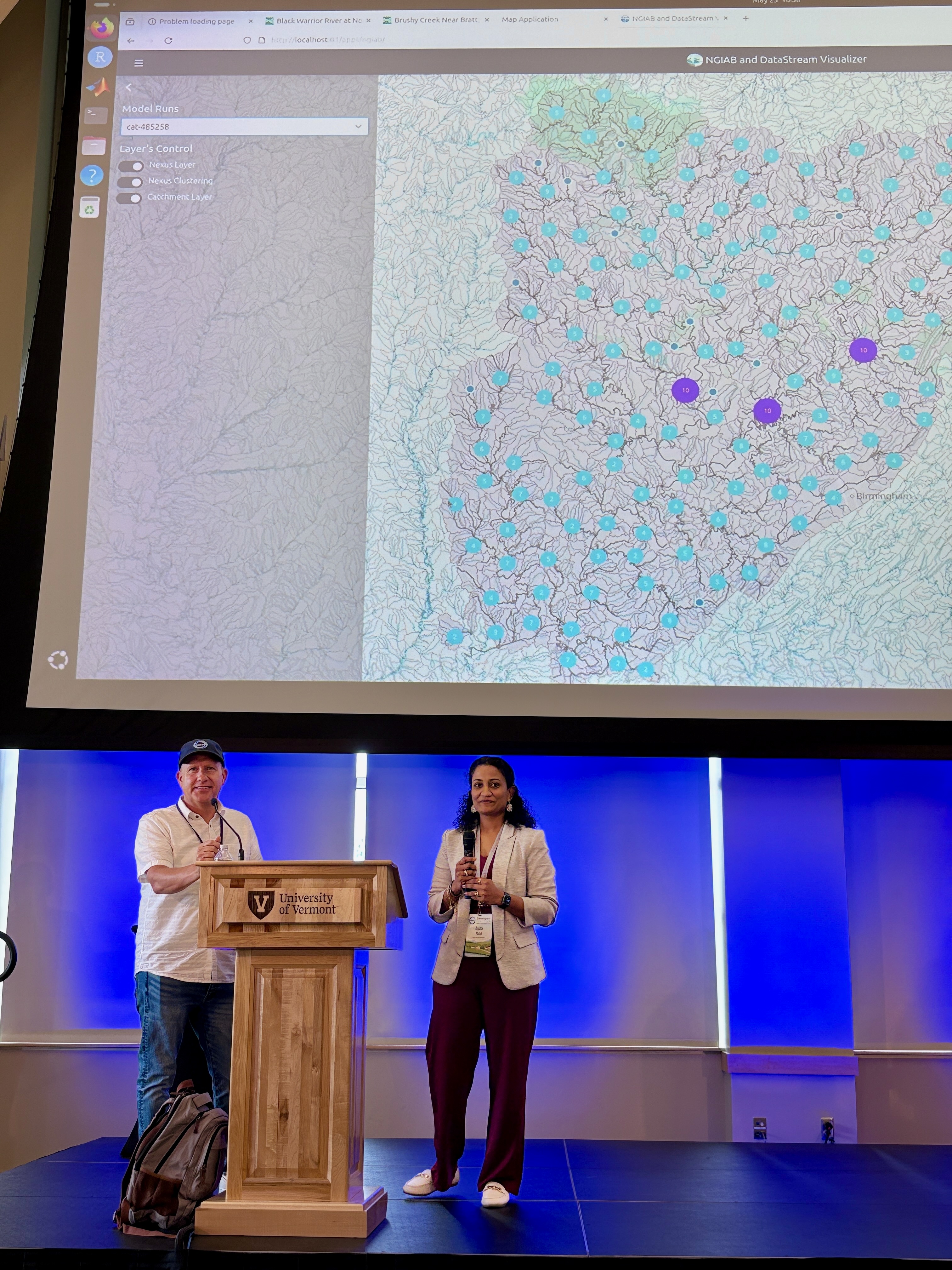
NextGen In A Box (NGIAB) and DataStream Visualizer: A Containerized Web Application for Interactive Geospatial and Temporal Visualization and Analysis of Hydrologic Model Outputs
Presenter: Gio Romero
Session: Oral Presentation H31G-08
-
Streamlining Community Modeling through Automated Data Processing for the Next Generation Water Resources Modeling Framework
Presenter: Sonam Lama
Session: Poster Presentation IN33B-0380
Cyberinfrastructure
-
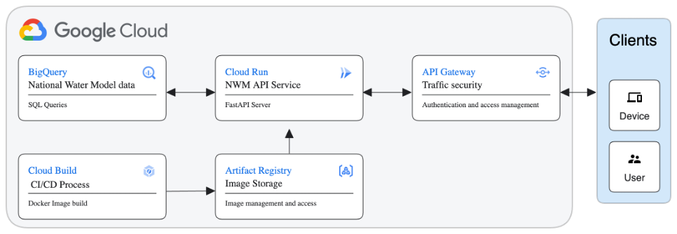
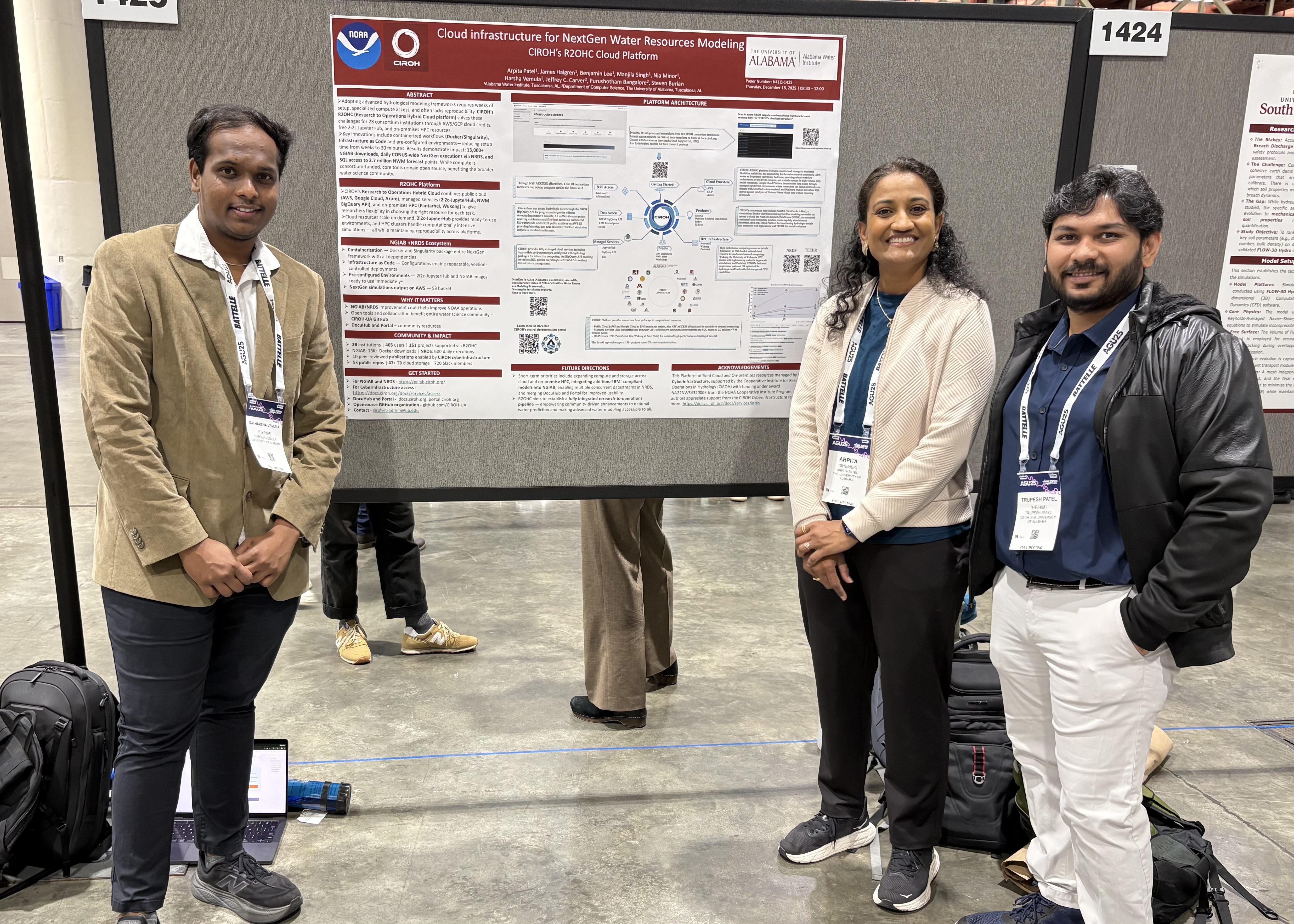
Cloud infrastructure for NextGen Water Resources Modeling: CIROH’s R2OHC Cloud Platform
Presenter: Harsha Vemula
Session: Poster Presentation H41Q-1425
-
High-Performance Computing Infrastructure for NextGen Water Resources Modeling: CIROH's R2OHC HPC Platform
Presenter: Trupesh Patel
Session: Oral Presentation H33J-07
Data Sharing & Community Engagement
-
CIROH DocuHub and Portal: Knowledge Management System for Collaborative Water Resources Research
Presenter: Manjila Singh
Session: Poster Presentation H41Q-1426
-
Demonstrating new tools and frameworks to facilitate continental-scale hydrologic data access and evaluation
Presenter: Sam Lamont
Session: Oral Presentation IN42A-04
-
Enabling Community Research with the Next Generation National Water Modeling Framework on through Streamlined Workflows
Presenter: Ayman Nassar
Session: Oral Presentation H31G-07
-
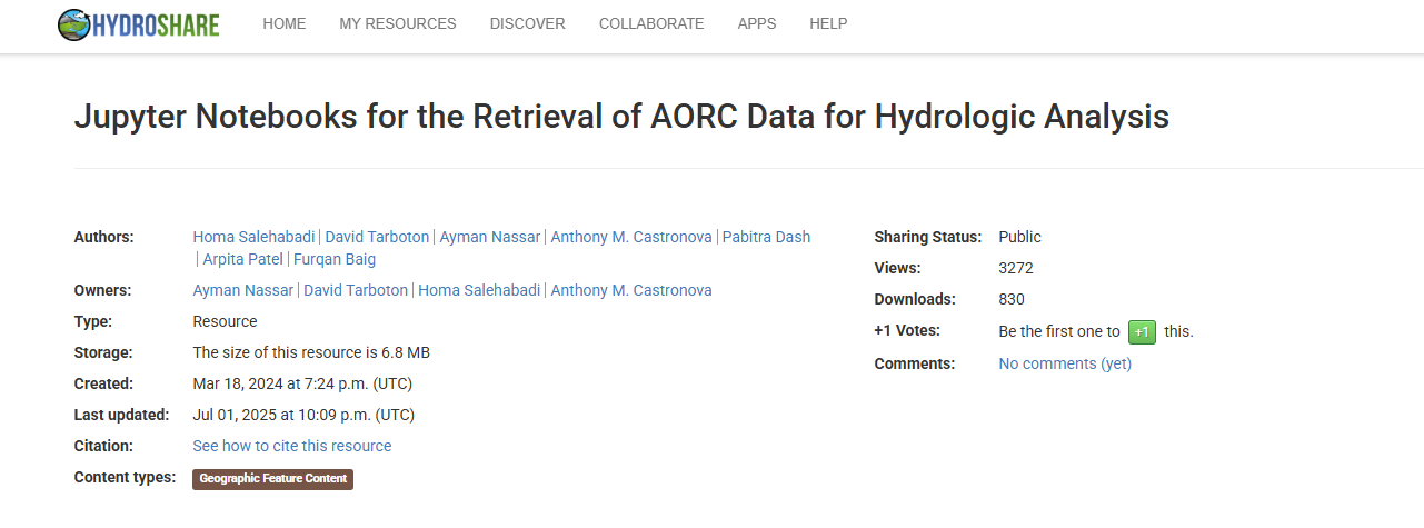
Modernizing HydroShare: Using a Cloud-Native Architecture to Accelerate Water Science Innovation
Presenter: Tony Castronova
Session: Oral Presentation IN42A-02
Reflections from AGU25
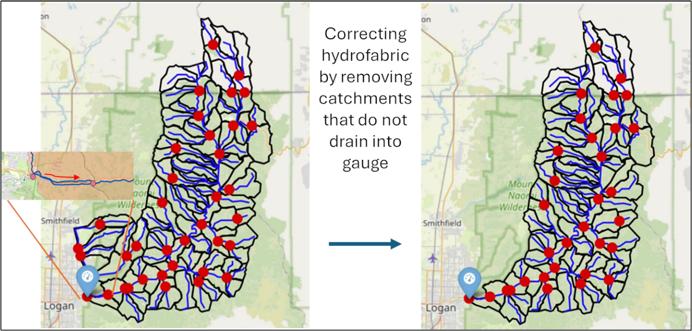
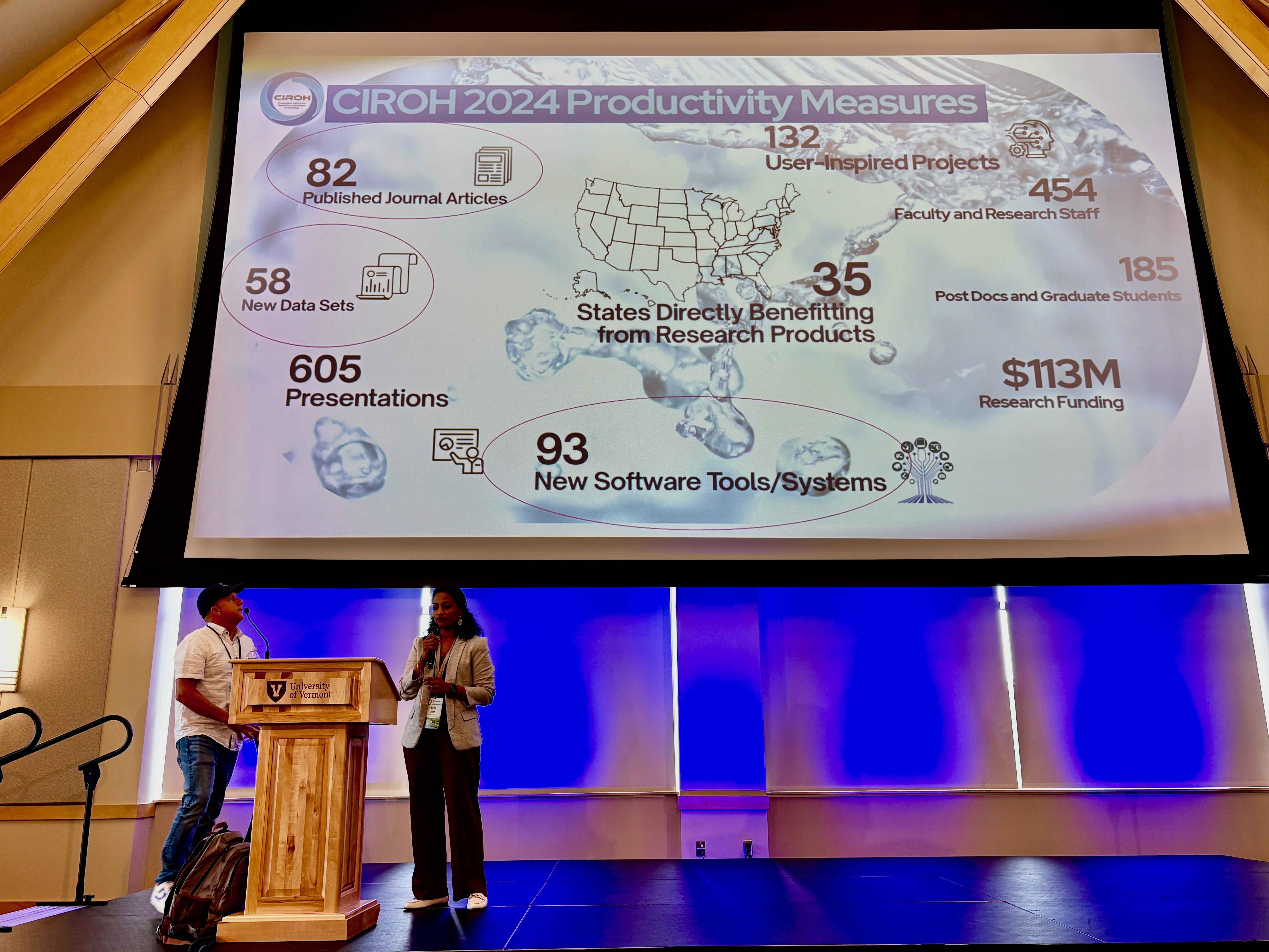
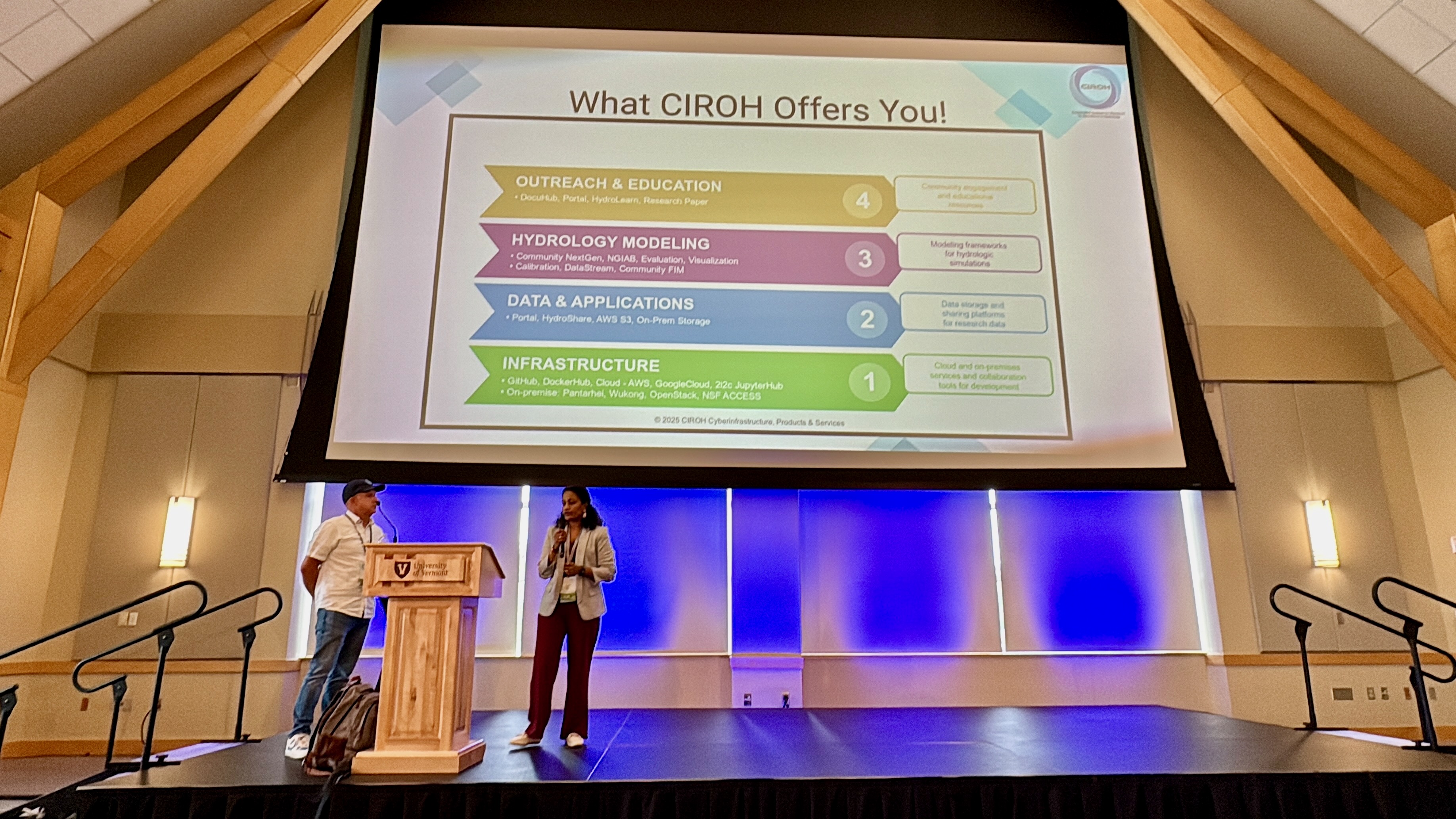
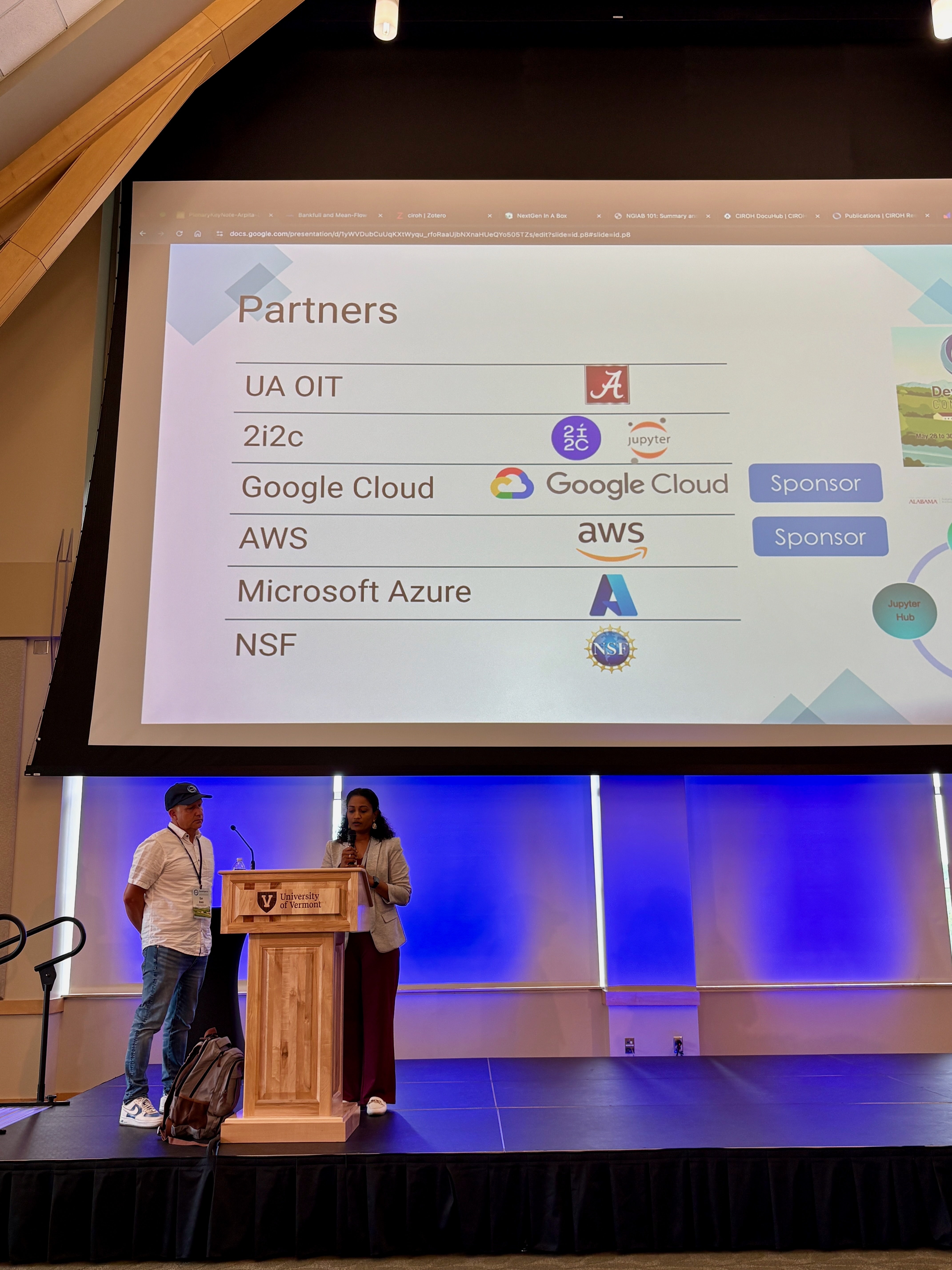
AGU is a wild world. It’s incredible how you can pack the population of a small town into one convention center and still have room left to spare. It’s even more incredible that at seemingly every turn, we always recognized at least a few citizens of said small town. We had such a wonderful time getting to see old friends and make new ones and come away from each conversation with a new idea for how CIROH Science Team could collaborate with the community. Our team was so encouraged by the number of presentations and posters we saw that used our community resources like our NGIAB container and our high-performance computing cyberinfrastructure offerings like Pantarhei and Wukong. (Perhaps you were one of our 13,101 NGIAB Docker deployments?) Not mentioned in the brief list above are all the presentations we got to see about model developments for the NextGen Framework. We love supporting our member and partner institutions’ research-to-operations work with our cyberinfrastructure resource offerings and community resource repositories like the Data Preprocessor, TEEHR, and the Tethys Visualizer. We would also love to showcase that work in our NextGen Research Datastream, running every hour for all of CONUS on AWS. If you’ve got a model that you’d like included in NGIAB and/or NRDS, we are more than happy to chat about it (or read through your GitHub issues submitted through our model integration issue form). We’re excited to get to work this year and support you and all of your R2O dreams!
Community Resources
All AGU25 presentation materials, including posters and slide decks, are available in our GitHub repository: CIROH-UA/Conferences/AGU25
Join the Community and Get Involved
Did AGU leave you wanting more from CIROH? We might not be able to see all of you in person every day (we miss y’all already), but whether you're a hydrologist, software developer, data scientist, or agency partner, there are many ways to get involved.
• Try NGIAB: Download from DockerHub or access NGIAB 101 for more details.
• Contribute Models to NGIAB: Submit BMI-compliant models integration request through our model integration issue form under the “New issue” button.
• Calibrate Models: Use our calibration tools to calibrate models for your favorite watersheds (we all have those, don’t pretend like you don’t know what we’re talking about!).
• Share Feedback: Open GitHub issues to report bugs and suggest improvements, or join our Community Resources Working Group discussions.
• Slack Channel: Join our public slack channels for community discussions
• Working Groups: Participate in one (or more, for you overachievers) of CIROH’s working groups – Artificial Intellgience, Community Resources, Decision Support, Early Career, Flood Inundation Mapping, Hydroinformatics, Hydrologic Modeling, Model and Forecast Evaluation.
• Student Summer Education Programs: Are you/do you know any undergraduates interested in AI and operational hydrology who are looking for research experiences over the summer? We have an REU for exactly that. Applications are due March 1. (Side effects: students may leave as Alabama football fans. Roll Tide!!)
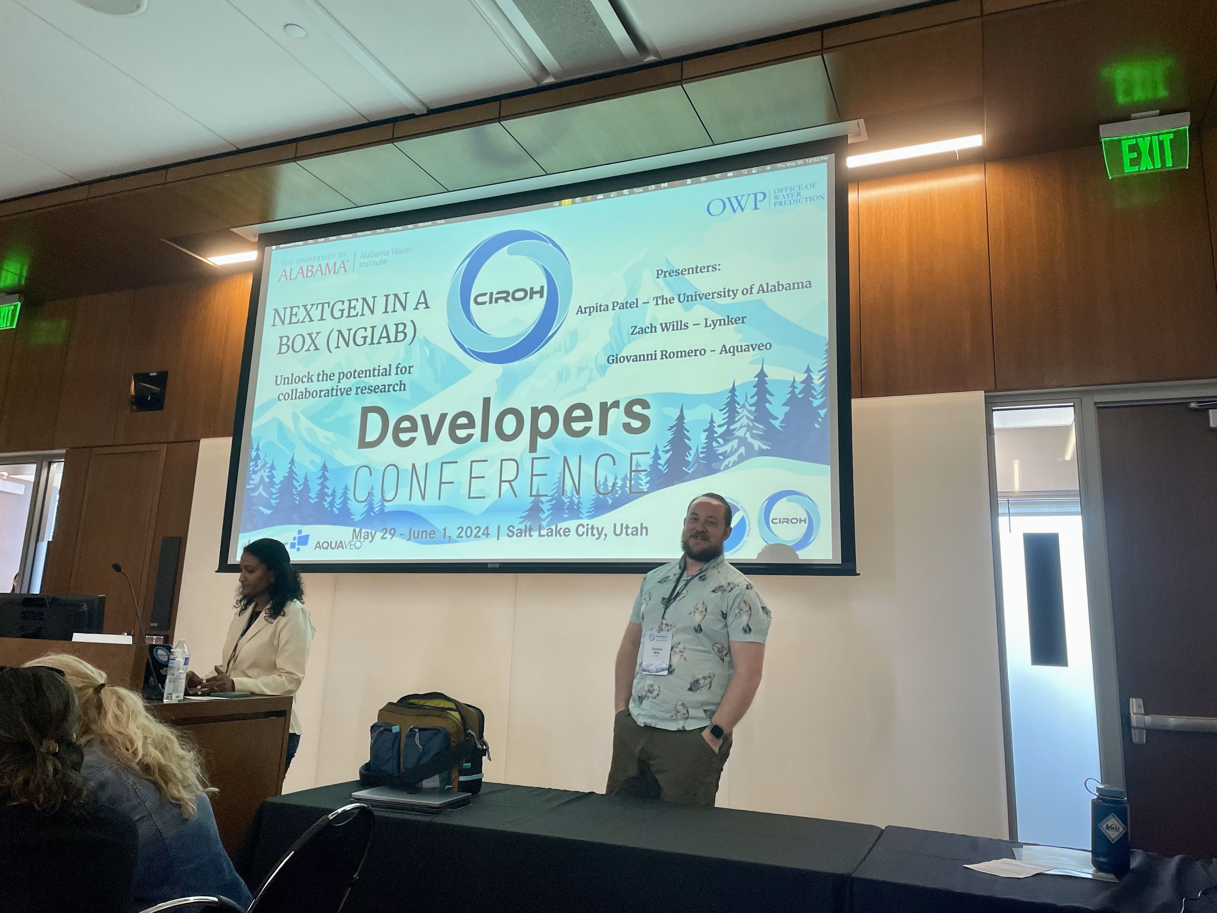
• DevCon: Attend yearly Developer Conference in May. DevCon 2026 is in Salt Lake City, UT from May 27-29.
Acknowledgments
CIROH's work is supported by NOAA Cooperative Institute Program under award NA22NWS4320003. We gratefully acknowledge the contributions from our numerous academic and agency partners who make this collaborative research possible.
The AGU25 presentations represent the collective effort of researchers, developers, and operational forecasters working together to advance hydrologic science. They are a culmination of months and years of dedication and love for science and research. Thank you to everyone who said hi, visited our posters, attended our presentations, and engaged in discussions about the future of water modeling. We’ll see you next year in San Francisco!