AORC Data in Your Hands: User-Friendly Jupyter Notebooks for Data Retrieval and Analysis via CIROH-2i2c JupyterHub Notebooks
· 3 min read


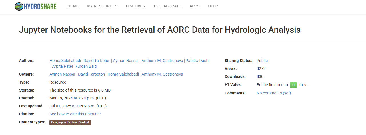
A screenshot of the HydroShare resource page for Jupyter Notebooks for the Retrieval of AORC Data for Hydrologic Analysis.
The Analysis of Record for Calibration (AORC) dataset is recognized as a high-value resource for the CUAHSI and CIROH community. This dataset is hosted by NOAA via Amazon Web Services (AWS) and is available in two primary formats: a latitude-longitude gridded dataset and the National Water Model (NWM) projected dataset, part of the NWM Retrospective archive. To enhance accessibility and illustrate analysis capabilities, we developed four user-friendly Jupyter Notebooks that enable data retrieval for both specific points of interest and spatial domains defined by shapefiles: